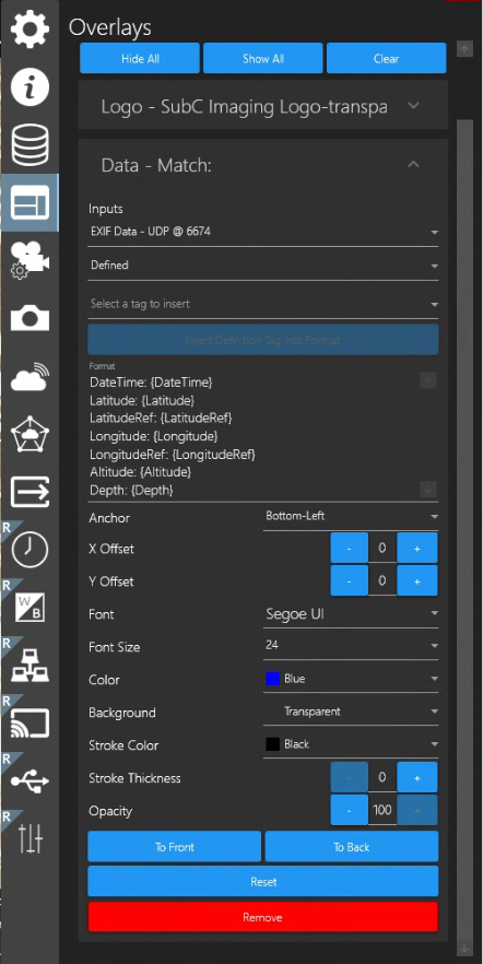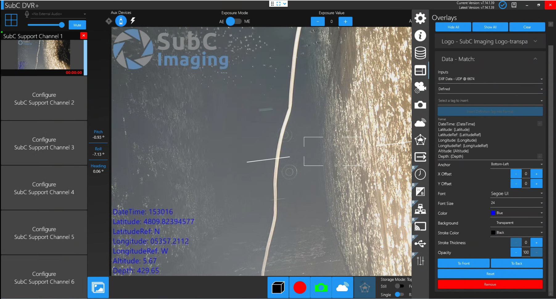
As described in Menu → Data I/O, SubC Software provides the option of getting data from Rayfin Cameras and other applications or devices, such as those reporting environment sensor data: water temperature, depth, etc. and this data can be displayed on the video view as a Data Overlay and/or save to a specified file.
You can also create an Input data string that will automatically apply EXIF data to your images by combining multiple data sources into a single string.
For example, we can take the relevant information from the following sensors:
$GPGGA,202530.00,5109.0262,N,11401.8407,W,5,40,0.5,1097.36,M,-17.00,M,18,TSTR*61
$--DBT,3.3,f,1.0,M,0.5,F*hh
$--DBS,3.3,f,1.0,M,0.5,F*hh
And produce a data string in a format such as this:
$-EXIF,202530.00,5109.0262,N,11401.8407,W,1.0,1.0
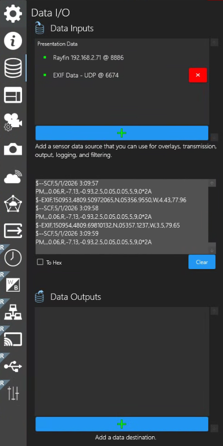
Now the EXIF string is formatted correctly, and you can add this as a Data Input in SubC Software
Example using DVR+
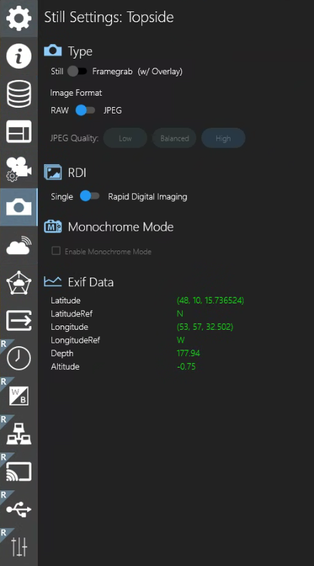
You can also confirm that the data is being received correctly by observing Menu → Stills Settings → Exif Data
Built-in sensor logging format
-
Tilt and Roll are logging in the $--SCF string for all Rayfin models
-
Depth and Temperature are logged in the $--SCF string for camera models with a built-in depth sensor
-
The data is echoed as an output on UDP port: 8886
-
The format for the SCF string is shown below
|
1 |
SystemDateTime |
2020-11-05 9:51:152 |
SystemDateTime |
2020-11-05 9:51:162 |
|
2 |
NMEA |
$--SCF |
NMEA |
$GPRMC |
|
3 |
Blank (future) |
|
UTC |
095116 |
|
4 |
depth |
2.53 |
latitude |
4124.8963 |
|
5 |
temp |
17.75 |
bearing |
N |
|
6 |
heading |
-46.67 |
longitude |
08151.6838 |
|
7 |
relative |
R |
bearing |
W |
|
8 |
roll |
0.9 |
fix quality |
1 |
|
9 |
pitch |
46.77 |
satellites |
05 |
|
10 |
headingAcc |
2.5 |
HDOP |
1.5 |
|
11 |
rollAcc |
0.05 |
Altitude |
-100, M |
|
12 |
Blank (future) |
|
ellipsoid |
-34, M |
|
13 |
status |
5 |
time DGPS |
|
|
14 |
selfTest |
15 |
DGPS id |
|
|
15 |
checksum |
0*0B |
checksum |
0*75 |
You can also apply Data as Overlays. See Menu → Overlays → Data